Induced Earthquakes in Oklahoma, Texas and Kansas Explained
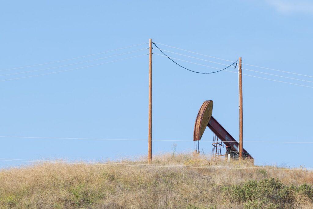
Induced earthquakes are earthquakes caused by human activity, and in Oklahoma, Kansas and Texas the main cause is the disposal of oil and gas wastewater in deep wells, not hydraulic fracturing itself. The USGS reports that the central and eastern United States averaged 25 earthquakes of magnitude 3 or larger a year from 1973 to 2008, then peaked at 1,010 in 2015. The rate has fallen since; in 2019 it was 130, still far above the old average.
What is an induced earthquake?
An induced earthquake is one triggered by human activity rather than by natural tectonic processes alone. The USGS studies quakes linked to fluid injection and extraction, including wastewater disposal, hydraulic fracturing, enhanced oil recovery and geothermal projects.
Injection raises the fluid pressure in rock layers underground. When that pressure reaches a fault that is already stressed, the fault can slip. The USGS says induced earthquakes can occur 10 miles or more from the injection well and at depths well below the injection point.
The Oklahoma Geological Survey (OGS) reported in 2015 that most Oklahoma earthquakes occur in crystalline basement rock, deeper than most oil and gas operations. It said reactivation of deeper basement faults by water disposal at shallower depths is often observed in cases of triggered seismicity.
Does fracking cause the earthquakes in Oklahoma?
Mostly not. According to the USGS page Myths and Misconceptions About Induced Earthquakes, wastewater disposal is the primary cause of the increase in earthquakes in the central United States. In Oklahoma, which has the most induced earthquakes in the US, only 1 to 2 percent of earthquakes can be linked to hydraulic fracturing operations.
The wastewater is mostly not fracking fluid. The USGS says less than 10 percent of the water injected into Oklahoma disposal wells is used hydraulic fracturing fluid. Most is saltwater that comes up with oil during production, which the OGS calls produced water.
There are exceptions. The USGS says the fluid disposed of near earthquake sequences in Youngstown, Ohio, and Guy, Arkansas, was largely spent hydraulic fracturing fluid.
Not every disposal well causes earthquakes. The USGS says most injection wells are not associated with felt earthquakes, and several factors must combine:
- the injection rate and the total volume injected,
- faults large enough to produce felt earthquakes,
- stresses large enough to produce earthquakes,
- pathways for fluid pressure to travel from the injection point to those faults.
How did the number of earthquakes change?
The change was large and fast. The USGS induced earthquakes overview gives these counts of magnitude 3+ earthquakes for the central and eastern United States.
| Period | Magnitude 3+ earthquakes per year (central and eastern US) |
|---|---|
| 1973–2008 | 25 on average |
| Since 2009 | At least 58 every year |
| Since 2013 | At least 100 every year |
| 2015 (peak) | 1,010 |
| 2019 | 130 |
In Oklahoma, the OGS put the change in daily terms in an April 21, 2015 statement. It said the state historically recorded about 1.5 magnitude 3+ earthquakes per year. During 2013 the rate was about 2 per week, and by April 2015 it was about 2.5 per day. The OGS said the rate was then about 600 times the background rate observed before 2008.
Most of the central and eastern US earthquakes in these counts were magnitude 3 to 4. The USGS describes that range as large enough to be felt by many people but small enough to rarely cause damage.
What were the largest earthquakes in Oklahoma?
The largest earthquake on record in Oklahoma is the magnitude 5.8 near Pawnee on September 3, 2016, according to the OGS list of the state’s ten largest. A USGS study calls Pawnee “the largest earthquake to have been induced by wastewater disposal.” The USGS says the Pawnee earthquake and the magnitude 5.0 Cushing earthquake of November 7, 2016, both caused damage.
| Date | Place | Magnitude (OGS) |
|---|---|---|
| September 3, 2016 | Pawnee, Pawnee County | 5.8 |
| November 6, 2011 | Prague, Lincoln County | 5.7 |
| April 9, 1952 | El Reno, Canadian County | 5.5 |
| February 13, 2016 | Fairview, Woods County | 5.1 |
| November 7, 2016 | Cushing, Payne County | 5.0 |
The 1952 El Reno earthquake predates the recent increase. The table lists the OGS ranking only and does not assign a cause to each event. For what these numbers mean, see our guide to earthquake magnitude.
What happened in Kansas and Texas?
Southern Kansas shared Oklahoma’s increase. The USGS identified Oklahoma and southern Kansas as an area of high induced earthquake hazard in its one-year hazard models for 2016, 2017 and 2018, along with the Raton Basin of Colorado and New Mexico. A USGS study covers the 2013–2016 induced earthquakes in Harper and Sumner Counties, Kansas. The Kansas Geological Survey lists two Kansas Corporation Commission orders reducing saltwater injection rates, dated March 19, 2015, and August 9, 2016.
Texas set up its own monitoring network. The Texas Legislature, in its 84th and 85th sessions, assigned the Bureau of Economic Geology at the University of Texas at Austin to identify the origins of earthquakes in Texas. The bureau created TexNet, the Texas Seismological Network and Seismology Research program, whose earthquake catalog covers data since January 1, 2017.
The Railroad Commission of Texas, which permits disposal wells, uses that data. Under its rules, an earthquake of magnitude 2.0 or greater in the USGS or TexNet catalog within the area of interest triggers a seismicity review for a new or amended disposal well permit. The area of interest is a circle with a radius of 5.64 miles (9.08 km) for shallow wells and 15.53 miles (25 km) for deep wells. The commission refined its review for shallow disposal in the Greater Permian Basin effective March 15, 2024.
How can you check earthquakes in these states?
- See our live lists of USGS earthquakes in Oklahoma, Kansas and Texas for the last 24 hours, 7 days and 30 days.
- Check the state networks: the Oklahoma Geological Survey earthquake pages, the Kansas Geological Survey network and the TexNet earthquake catalog.
- Compare the magnitude with how strongly the quake was felt in your area; our guide to magnitude vs intensity explains the difference.
Our pages collect official data and do not determine whether a given earthquake was induced. That call belongs to the USGS and the state geological surveys.
Bottom line
Induced earthquakes in Oklahoma, Kansas and Texas are mostly linked to deep disposal of saltwater produced with oil and gas, not to fracking itself. Magnitude 3+ earthquakes in the central and eastern US rose from about 25 a year to a peak of 1,010 in 2015, then declined. Oklahoma’s largest, the magnitude 5.8 Pawnee earthquake of 2016, is described in a USGS study as the largest induced by wastewater disposal.
FAQ
Does fracking cause earthquakes?
It can, but rarely compared with wastewater disposal. The USGS says only 1 to 2 percent of Oklahoma earthquakes can be linked to hydraulic fracturing operations, and the rest are induced by wastewater disposal.
What was the largest earthquake induced by wastewater disposal?
A USGS study describes the magnitude 5.8 Pawnee, Oklahoma, earthquake of September 3, 2016, as the largest earthquake to have been induced by wastewater disposal. It is also the largest on the OGS list for Oklahoma.
Are induced earthquakes still happening?
Yes, at a lower rate. The USGS counted 130 magnitude 3+ earthquakes in the central and eastern US in 2019, far above the 1973–2008 average of 25 a year.
How far from a well can an induced earthquake occur?
The USGS says induced earthquakes can occur at distances of 10 miles or more from the injection point. They can also occur much deeper than the injection depth.