How to Read a USGS Earthquake Report, Field by Field
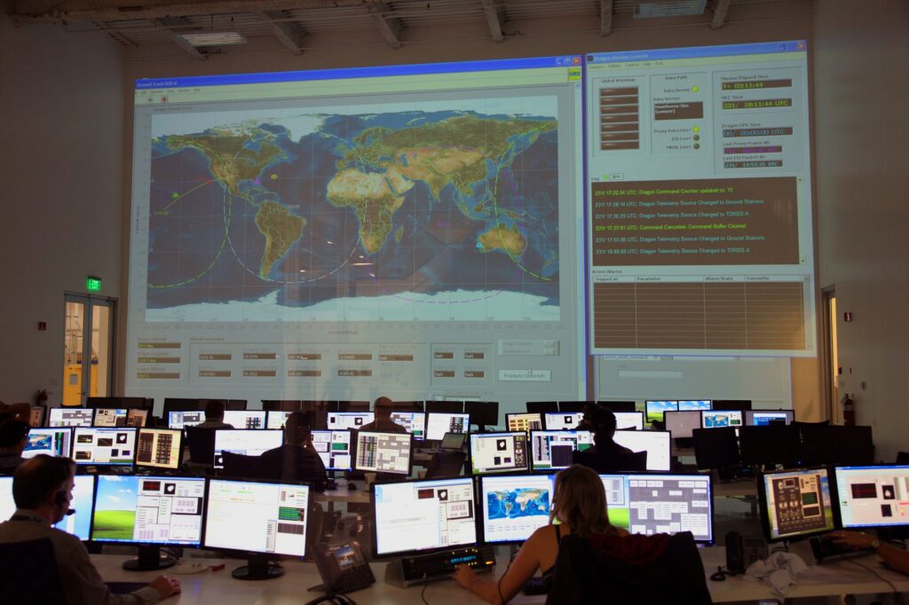
A USGS earthquake event page lists the magnitude with its type, the location as a distance and direction from a nearby populated place, the origin time in UTC, the depth and a review status. “Automatic” means a computer produced the solution and no person has checked it, so the numbers can change. Larger earthquakes add a ShakeMap, “Did You Feel It?” reports, a PAGER alert level and an aftershock forecast.
Here is what each field means, in the order USGS shows them. Our live list of USGS earthquakes shows recent events from the same official data in one place.
What does a title like “M 4.2 – 24 km ESE of” a town mean?
The title gives the magnitude, then the distance and compass direction from a reference place to the epicenter. “24 km ESE of” a town means the epicenter is 24 km (15 miles) east-southeast of that place.
USGS builds these names automatically from a GeoNames list of populated places with a population of 1,000 or more. The reference point is a populated place near the epicenter, not necessarily a well-known city. The Region Info section of the event page lists several nearby places with distances.
What is the difference between “automatic” and “reviewed”?
The review status appears in the origin details. The USGS catalog documentation defines the two values.
| Review status | Meaning (USGS) | What to expect |
|---|---|---|
| Automatic | Posted directly by automatic processing systems; not verified or altered by a person | Magnitude, location and depth can change |
| Reviewed | Looked at by a person; the review ranges from a quick validity check to a careful reanalysis | Values are more settled, but archival updates can still come days to weeks later |
A Hawaii example shows the effect. The USGS Hawaiian Volcano Observatory reported that an earthquake on the morning of February 13, 2025, was magnitude 2.8 before analyst review and magnitude 3.1 after it. Our guide on earthquake magnitude explains why early numbers move.
What do the event ID and network code tell you?
Each event has an ID made of a network code, generally two characters, and a code assigned by that network, generally eight characters. The network code shows which seismic network is the source of the solution.
- us: USGS National Earthquake Information Center
- ci: Southern California network
- nc: Northern California network
- ak: Alaska network
USGS notes that the preferred ID can change over time, and one earthquake can carry IDs from several networks. The contributors list on the event page shows which network supplied each product, such as the origin or the moment tensor.
How should you read the magnitude, time and depth?
Magnitude. The letters after the number, such as mww, ml, md or mb, give the magnitude type. USGS treats moment magnitude (Mww) as its authoritative value when it can be computed.
Time. USGS event pages use Coordinated Universal Time (UTC), which for this purpose is the same as GMT. USGS notes that the UTC date can be “the next day” compared with the date where you are. The Latest Earthquakes list shows your device’s local time by default, and you can change that in its Settings panel. The USGS FAQ on UTC explains the choice.
Depth. Depth is given in kilometers. USGS sets a depth of exactly 10 km when the data cannot support a reliable value, so 10.0 km on a new event is often a placeholder. Our guide to earthquake depth covers this in detail.
What do PAGER alert levels mean?
PAGER stands for Prompt Assessment of Global Earthquakes for Response. It is an automated USGS system that rapidly estimates shaking and its impact. USGS produces PAGER for earthquakes of magnitude 5.5 or greater worldwide, and for earthquakes larger than about magnitude 3.5 to 4.0 in the contiguous United States, Hawaii and Alaska.
| Alert | Estimated fatalities | Estimated losses (USD) | USGS description |
|---|---|---|---|
| Green | 0 | Under $1 million | Little or no impact |
| Yellow | 1 to 99 | $1 million to $100 million | Regional impact and response |
| Orange | 100 to 999 | $100 million to $1 billion | National-scale impact and response |
| Red | 1,000 or more | $1 billion or more | International response |
USGS computes a fatality alert and a loss alert and always shows the higher of the two. For earthquakes larger than magnitude 5.5, estimates are generally online within 20 to 30 minutes and usually improve as more data arrive, so USGS advises checking the latest version number. USGS also says the alert level does not rank an earthquake’s importance. More detail is in the USGS PAGER FAQ.
Does the tsunami flag mean a tsunami is coming?
No. USGS sets the tsunami flag to 1 for large events in oceanic regions and to 0 otherwise. USGS states that the flag does not indicate whether a tsunami actually did or will exist.
When the flag is 1, the event page links to the NOAA tsunami website. USGS says it is not responsible for tsunami warnings. Official tsunami messages come from NOAA’s warning centers at tsunami.gov, and our page of latest tsunami messages from NTWC and PTWC collects them in one place. Our guide to tsunami alerts explains the message levels.
Larger earthquakes also get these products on the same page:
- Did You Feel It? Shaking reports from the public, turned into intensity values by ZIP code, city or map box.
- ShakeMap. A near-real-time map of ground motion and shaking intensity built from seismic sensor recordings.
- Aftershock Forecast. The chances of aftershocks over the next day, week, month and year; see our guide to aftershocks.
- Significance. USGS scores events using magnitude, the number of DYFI responses and the PAGER level. Events scoring above 600 count as significant and appear in red on the USGS real-time map and list.
How do you follow an earthquake as updates come in?
- Open the USGS Latest Earthquakes map. Its standard view lists magnitude 2.5 and larger earthquakes from the past day.
- Select the event and note the magnitude type and the review status.
- Check again within a few hours, when most real-time data have arrived, and again in the following days.
- For automatic notices, sign up for the free USGS Earthquake Notification Service, which sends email or text messages. USGS stresses that it is not an earthquake early warning system, and its messages will almost always arrive after any shaking.
Bottom line
Read the review status first: automatic values can change, reviewed values are more settled. Then check the magnitude type, convert the UTC time to your own clock and treat a 10.0 km depth on a new event with caution. The PAGER color is an impact estimate, and the tsunami flag is not a tsunami warning.
FAQ
Why does the USGS page show a different date than my local news?
USGS event pages use UTC. An earthquake in the evening in the United States can carry the next day’s date in UTC.
Why did the magnitude change after I first saw it?
Early values come from the closest stations and automatic processing. USGS updates the magnitude within a few hours and again days to weeks later, and it may switch to a different magnitude type.
What does a yellow PAGER alert mean?
Yellow means USGS estimates 1 to 99 fatalities or $1 million to $100 million in losses, which USGS describes as regional impact and response.
Is the USGS earthquake page a tsunami warning?
No. USGS says it is not responsible for tsunami warnings. Check tsunami.gov and follow your local emergency officials.