M6.4 Earthquake Strikes Santa Cruz Islands, Solomon Islands
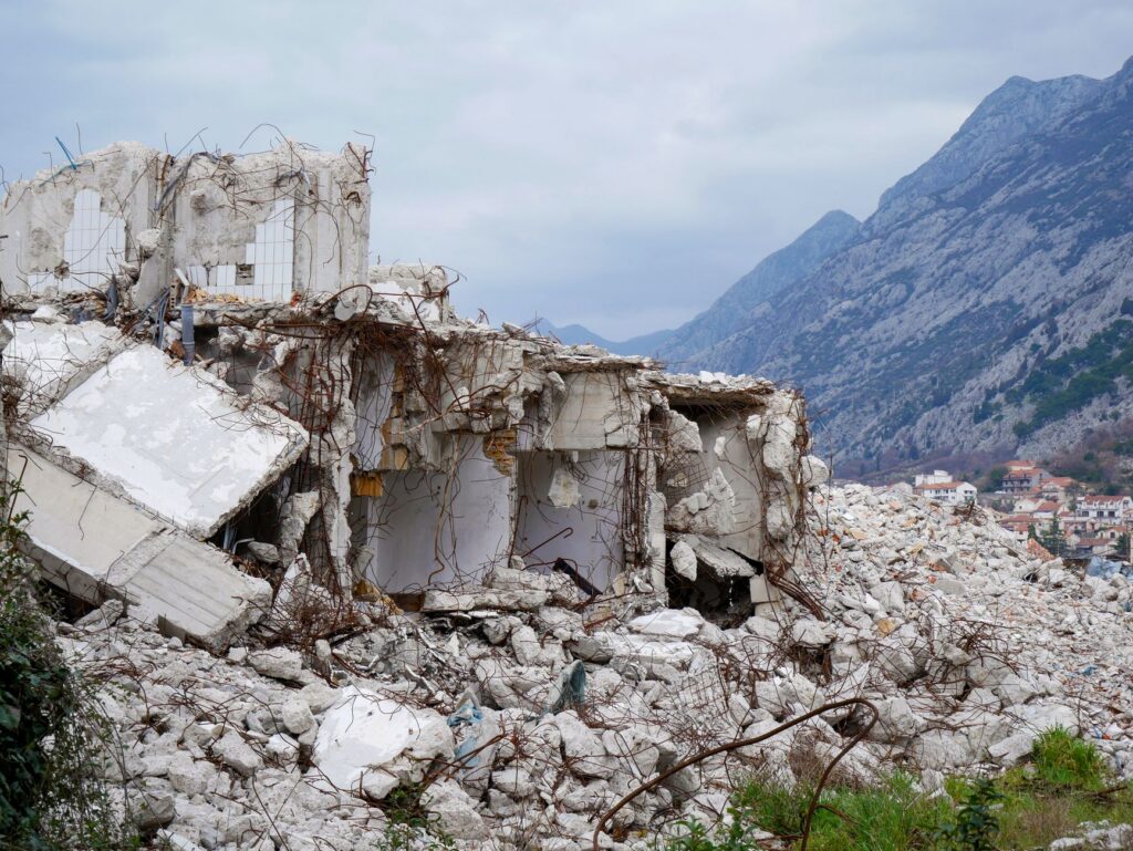
An earthquake the U.S. Geological Survey registered as M6.4 struck 30 km west-southwest of Lata in the Solomon Islands’ Santa Cruz Islands at 03:34:59 UTC on Nov. 9, 2026, according to the USGS as reported by The Watchers. The USGS gave a depth of 17 km (10.6 miles), which makes it a shallow quake.
The USGS issued a Green alert for shaking-related fatalities and economic losses, its lowest level. The agency’s assessment, as relayed by The Watchers, is a low likelihood of casualties and damage. No damage or injuries had been reported in the sources reviewed.
The central figures
- M6.4: the magnitude reported by the USGS. The European-Mediterranean Seismological Centre (EMSC) reported the same magnitude.
- 17 km (10.6 miles): the depth reported by the USGS. EMSC reported the same depth.
- 30.2 km (18.8 miles) WSW of Lata: the epicenter’s distance from the nearest listed town, which has a population of 553.
- 12 000 people: the number estimated to have felt strong shaking. The USGS estimate also puts 5 000 people at moderate shaking and 4 000 at light shaking.
- Green: the USGS alert level for both fatalities and economic losses.
Distances to other cities
The USGS listed several cities relative to the epicenter. Luganville, population 13 397, is 546 km (339.2 miles) to the south-southeast. Honiara, the Solomon Islands capital with a population of 56 298, is 634.9 km (394.5 miles) to the west-northwest. Malango, population 10 532, is 652.9 km (405.7 miles) to the west. Port-Vila, population 35 901, is 819.5 km (509.2 miles) to the south-southeast.
Why it matters: buildings in the region
The USGS noted that most people in the region live in structures vulnerable to earthquake shaking, although more resistant buildings exist. The most common vulnerable types are mud wall construction and informal buildings made of metal, timber, galvanized iron and similar materials. The agency listed no data on estimated economic losses as a share of GDP and none on secondary hazards.
The sources did not mention a tsunami warning or any local emergency instructions. Residents of the area should follow their local emergency officials for guidance, and the USGS event page carries the agency’s official figures.
Source: The Watchers